

placeholder.jpg
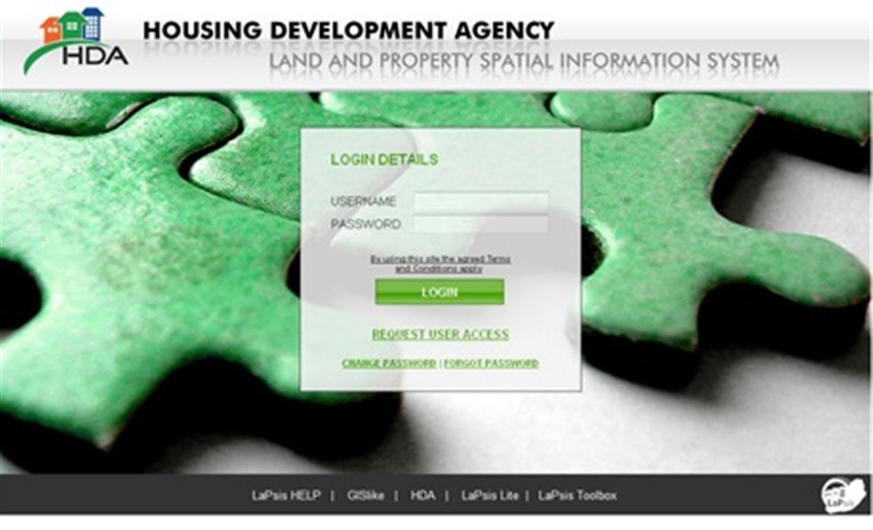
The HDA is justifiably proud of the new version of LaPSIS that the land geospatial unit has been working. “It’s as quick as you can breathe,” says Johan Minnie, Senior Manager of Land and Geospatial Services.
The HDA’s spatial geographic information system includes many improvements on the original version. The search functionality has been improved and the navigation completely revamped. The new LaPSIS is full of user-friendly icons and redefined reports. And it is not just the look and feel that is better – new datasets are continually added to provide for a richness of information.
The spatial development framework for Limpopo was recently included, and it is Minnie’s intention to include all the provinces’ spatial development framework databases in the near future. The main datasets used in LaPSIS are the cadastre and deeds data for the entire country, while various other datasets from AgriGIS (the supporting consultancy) are also included.
Two useful additions include a property sold price index report on individual property, as well as a suburb level that shows property trends in an area. There is also a “locate a phone” functionality that links the location of a user’s cellphone to an identified property and maps out a route to said property.
The team’s intention is to ensure that the HDA assists non-GIS users in provincial human settlements departments and municipalities to effectively use information to ask the right questions in their planning processes.
The HDA can make a presentation to provinces and municipalities on request by emailing johan.minnie@thehda.co.za.