

The Housing Development Agency (HDA) is a national development agency established by an Act of Parliament (Act 23 of 2008). The HDA promotes sustainable communities by making well-located land and buildings available for the development of housing and human settlements.
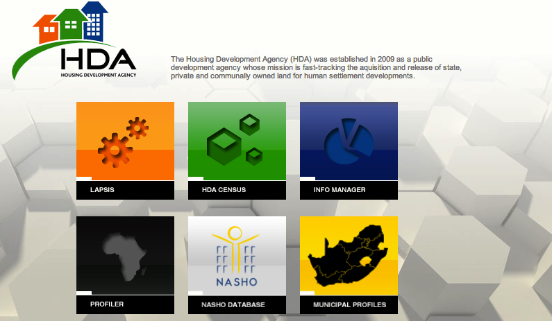
What is LaPsis?
In order to deliver on its mandate – the release of suitable land for the creation of sustainable human settlements – the HDA developed a GIS or geographic information system tool called LaPsis (Land and Property Information System). Unlike other online mapping tools, Lapsis is a land and property spatial informal system accessible online that helps users to reference their own information with up to date human settlement sector information. Users can search for properties and create maps using different spatial data sets.
Where does LaPsis data come from?
Lapsis data is sourced Stats SA, Deeds Office, Survey General, National Department of Human Settlements, and the HDA also uploads its own information. Depending on the nature of the data, updates take place monthly, quarterly and annually, for example Deeds data is monthly, the cadaster is quarterly and human settlement projects is annually. The HDA does not verify the data but relies on the custodians of data to take responsibility for its accuracy. The HDA uses the different layers of data to provide users with a more integrated spatial reflection of the data in order to support planning processes.
Users of LaPsis have access to the following layers:
• Housing / human settlement projects
• Informal settlements
• Cadastre (erven, farms, conservation areas, wards)
• Gauteng Biodiversity Plan (restricted)
• SA Agriculture potential
• Geology
• 1:50 000 and the 1:250 000 topographical map
• Satellite imagery
What can LaPsis do?
LaPsis has been designed for those who are not experts in GIS to easily query data and create maps. In summary LaPsis can provide the following useful functions:
• Erf level data such as property info, owner, extent, satellite image etc can be viewed in relation to Points of Interest nearby.
• State-owned land can be referenced in a municipality and an identified property can be confirmed as state-owned
• Property verification, ie Property can be viewed on a map, Deeds information (the owner) can be confirmed, and a satellite image will confirm what is on the property
• X and Y coordinates (point data) from an Excel spreadsheet can be added
• Polygons can be captured and saved to user’s favourites
• Immediate and real time access to maps printed up to A3 in size
• Own data can be captured and uploaded, for example, data captured on a cellphone according to fields can be submitted to LaPsis and when a point is clicked on it will reflect these data sets of information.
• Data analysis
• Customisation according to needs
Users of LaPsis have access to the following Points of Interest:
• SAP stations
• Medical facilities (clinics, hospitals, pharmacies etc)
• Educational facilities (clinics, hospital, pharmacies etc)
• Educational facilities (schools, universities etc)
• Places of worship
• Transportation
• Commercial facilities
• Eskom power lines and substations
Who will find LaPsis useful?
Government officials who have a need to consider property information and to verify data will find LaPsis useful. These include, but are not limited to, planners, housing officials, project managers, unit managers, and Officials from departments of Public Works officials and Rural Development and Land Reform at provincial level.
How to find out more about LaPsis?
The HDA provides training and a User Manual, as well as ongoing telephonic support from head office. User forums are also established to provide support.
For more information contact Johan Minnie on email: johan.minnie@thehda.co.za or tel 011 544 1000.